Natural Bridge Trail - Death Valley National Park
Hi friends and happy Monday! As Death Valley National Park reopens after the historic flooding, many areas inside the park remain closed…but this week we’re heading out on a great introductory hike that is open to the public now. Join me as we explore Natural Bridge Trail.
FAST FACTS
• Distance: 1.5 miles
• Elevation Change: 300 ft
• Difficulty: Easy to Moderate
Natural Bridge in Death Valley National Park
Location
The Natural Bridge Trailhead is located 13 miles south of the 190 off Badwater Road just 3 miles before the Badwater Basin boardwalk & parking area. A small marked turnoff takes you from the paved Badwater Road up Natural Bridge Road, a mile and a half rough unpaved gravel/dirt road (always check with rangers about current road conditions before your visit). A large dirt parking lot is located at the top of the hill alongside the official trailhead.
View of Badwater Basin temporary lake from Natural Bridge parking area
Badwater Basin Temporary Lake Views
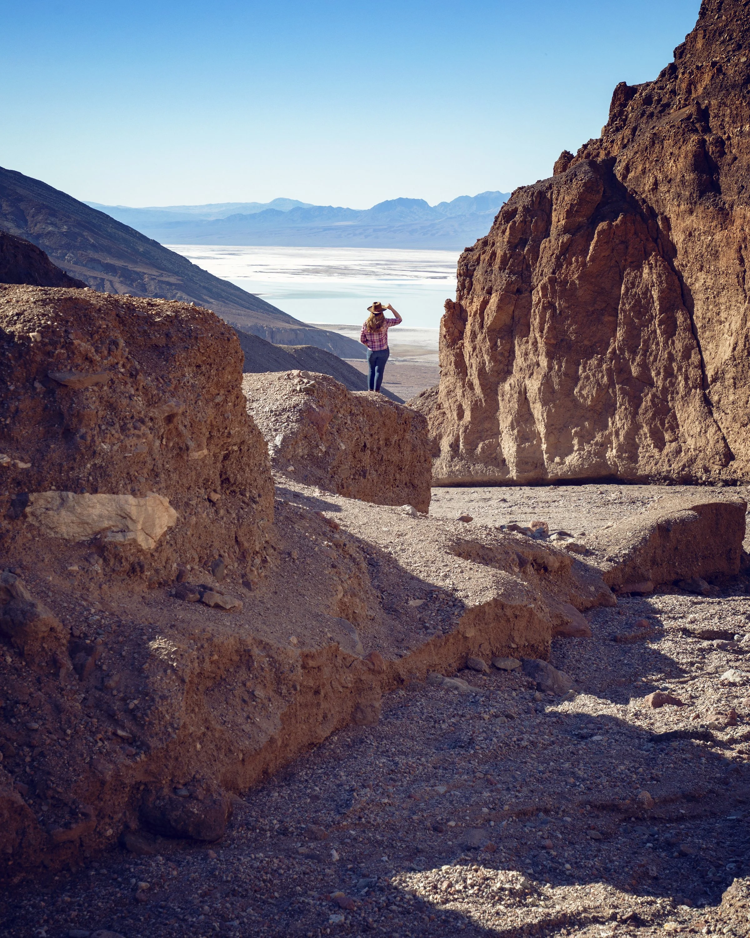
The trailhead and parking lot always offer impressive views of the Badwater Basin below, but now is a particularly special and unique time to visit because this vantage point really shows off how large the temporary lake covering Badwater Basin is. While the parking lot views are impressive, one of my favorite vantage points is found just past the trailhead. Before heading into the canyon near the beginning of the trail, look back toward the basin and walk out on the ridgetop for a beautifully framed view of Death Valley below.
Natural Bridge Trail slot canyons in Death Valley
Natural Bridge Trail
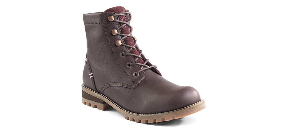
The Natural Bridge Trail is a relatively easy hike that covers just under a mile and a half (round trip) with about 300 feet in elevation change. This out-and-back hike heads up through a narrow canyon, meaning the first half of this hike is uphill while the return hike is downhill all the way back to the trailhead. This trail is generally considered an easy to moderate route…it’s a short hike and the tall canyon walls can provide some much-appreciated shade. However, the loose gravel trail is uneven and slick in some areas, requiring sturdy footwear with good ankle support (my Kodiak Fernie boots were perfect for this hike).
Badwater Basin temporary lake seen from Natural Bridge Trail
Hike
As you begin your adventure, take a moment to read the interpretive panels at the trailhead for information on the geological features in the canyon, including faults along the way. From the panel, the trail heads directly into the mouth of the canyon. Almost immediately you are met with tall slot walls and numerous natural features, such as dripping mud formations, hanging rocks, small crevices, and caves before reaching the main attraction, the natural arch bridge.
Natural Bridge in Death Valley National Park
Natural Bridge
Just over a half mile into this hike, the impressive natural bridge looms overhead. At over 20 feet thick and hanging about 35 feet above the canyon floor, this perfectly formed arch connects the walls of this canyon. Long ago while this area was being carved out by flowing water, the stream followed the path of least resistance and formed a sharp bend that eventually eroded into a fin of rock. It’s believed roaring floods pushed a hole through the fin, creating a shorter route down the slope. The deepening of the canyon left the alcove on the north side and the bridge high and exposed above the canyon floor. Unlike the smooth sandstone arches found in Utah, this bridge is made of jagged rock, gravel, and sediment washed and cemented together long ago. As the largest natural arch in Death Valley National Park, the incredible bridge formation is the highlight for most hikers. You can turn around here, but I recommend continuing under the bridge and up the canyon to encounter more examples of Death Valley’s varied geology.
Dry Waterfall along Natural Bridge Trail
Dry Waterfall
After passing under the Natural Bridge, you continue to be met with vertical chutes, slots, and hanging canyons as well as an ancient dry waterfall that once poured down the towering wall into the canyon below. Thousands of years ago, a stream flowed into the canyon here and a long vertical chute was created when the canyon eroded much more rapidly than the stream bed above. At the base of the 30-foot dry waterfall, you can currently see rock and pebble debris flow that poured down and gathered with the recent Hurricane Hilary storm. This spot is another great option to turn around, but you can also continue on for one final highlight.
Canyon Chute at the end of Natural Bridge Trail
Canyon Chute
Just past the dry waterfall, this canyon trail curves sharply and immediately narrows into a thick slot canyon with another dry waterfall with sloping marble-like sedimentary rock that has clearly been carved out by the wind, rain, and flash floods over centuries. The 20-foot cascade has been polished by runoff over time and now displays a striking white and turquoise color, which contrasts against the vibrant orange canyon backdrop. Surrounded in three directions by the slot walls, this is officially the end of the trail, and the towering canyon provides a perfect spot to enjoy a snack or sip of water before heading back down to the trailhead.
Polished rock on the Canyon Chute
Kia Sportage along the gravel Natural Bridge Road with Badwater “Lake” in the background
Know Before You Go
• Always check the official Death Valley NPS website for current weather and road conditions prior to visiting.
• The Natural Bridge Road is an unpaved gravel road. Most sedans can handle it, although I’d recommend a higher clearance vehicle like my Kia Sportage (pictured above).
• Even though the natural arch bridge looks sturdy, please do not climb up it to take photos. This formation is fragile and took hundreds of years to form. As you walk under it, you can see cracks forming along the Natural Bridge. One careless person could bring it all down.
• Pack plenty of water for this hike, more than you think you’ll need. In recent years several hikers have died of heat stroke out on the trails. In the desert your body is subjected to heat from direct sunlight, harsh winds, and high temperatures. To prevent dehydration and heat exhaustion, bring 1 gallon of water per day minimum and keep hikes short on hot days. In fact, hiking after 10 AM in Death Valley on hot days is not advised.
• During thunderstorms, flash flood danger is especially high in areas like this, so make sure to exit and avoid washes, narrows, and canyons during rainstorms.
• When hiking across rugged terrain or in twisting canyons, stay on established routes, and avoid climbing on unstable cliffs. You can lose direction easily in the desert and cell service is nonexistent here. Plan ahead with knowledgeable navigation, tell others where you’re going, and use mountain peaks or other landmarks to remember the location of your car when hiking away from the road.
• Anytime you visit Death Valley, I highly recommend bringing a GPS device or smartphone equipped with a GPS app and pre-loaded maps (I recommend and use Gaia). Cell service is minimal throughout the park, and it is very easy to get turned around in this vast desert when trails are not clearly clearly marked.
• Please remember the Leave No Trace Principles so this park’s natural beauty can be enjoyed for years to come.
Top 10 Things to Do in Death Valley Currently
Golden Canyon
Natural Bridge
Mosaic Canyon
Cracks running up Natural Bridge in Death Valley
In Summary
Thank you so much for joining me this week in Death Valley National Park. For a virtual visit of my Natural Bridge hike, make sure to watch my Behind the Blog video linked at the top of this post, or watch it on YouTube here. Until next week, I hope you find adventure and encouragement wherever you go.
Natural Bridge Trail in Death Valley National Park
Shop the Post
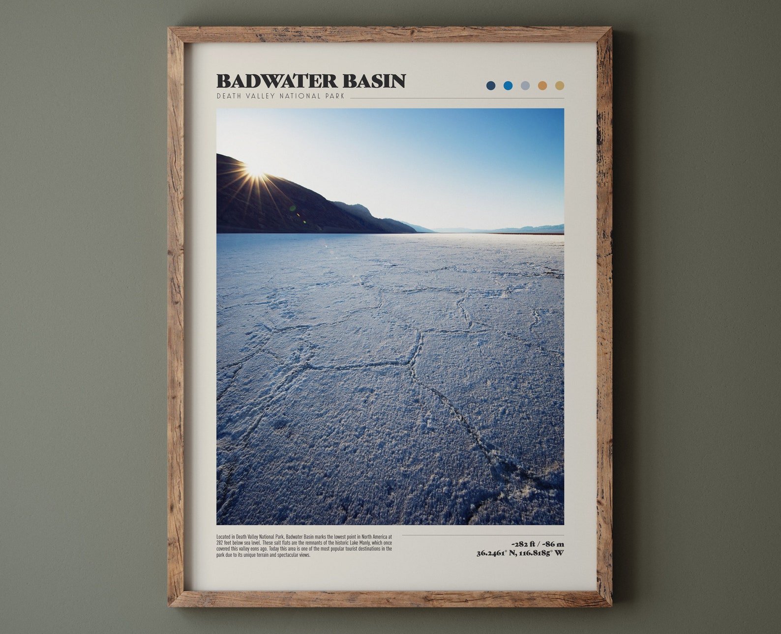
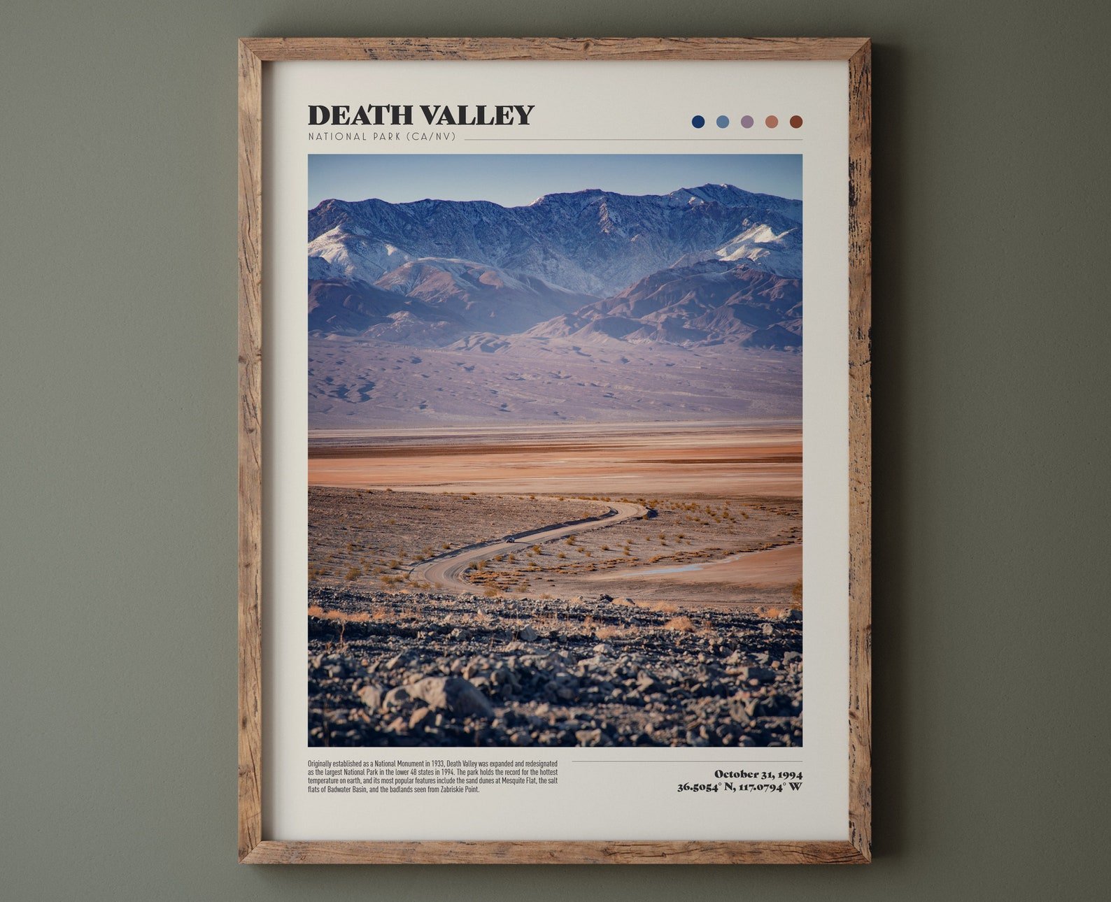
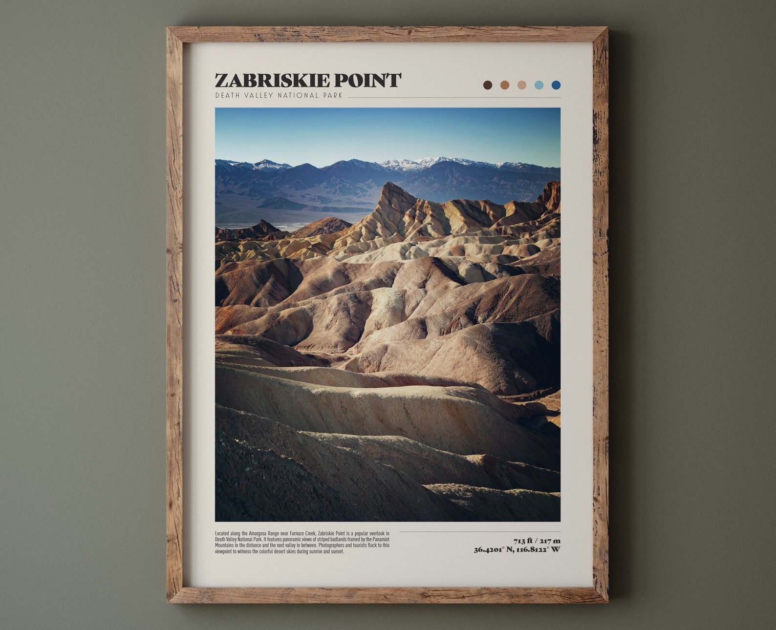
Death Valley Products from Our Etsy Shop
If you enjoyed this post, you might also like…
About Me
I’m Dawn Marie, a travel and lifestyle blogger based out of Southern California. With in-depth articles, travel guides, and reviews on hotels & products, I seek to share my journeys to help you plan for your own. My adventures take me all over California, the western United States, and around the globe...and every Monday I post new content here, including a comprehensive blog post and YouTube video.
Search the Blog
Featured Posts
Etsy Shop










Embark on a California desert road trip to explore otherworldly landscapes, unique rock formations, and stunning desert scenery. Visit Red Rock Canyon, Trona Pinnacles, Death Valley National Park, Alabama Hills & Fossil Falls. Discover epic stargazing, hidden hikes, scenic drives, and surreal photo spots on this unforgettable desert adventure with this complete travel guide & itinerary.